Back to the model

It started
as a keychain.

A little piece of Staten Island, made in St. George.

The first thing I ever designed for a 3D printer was Staten Island. That topographic keychain grew into a way to explore the neighborhood, inspect public data and understand change at the waterfront.

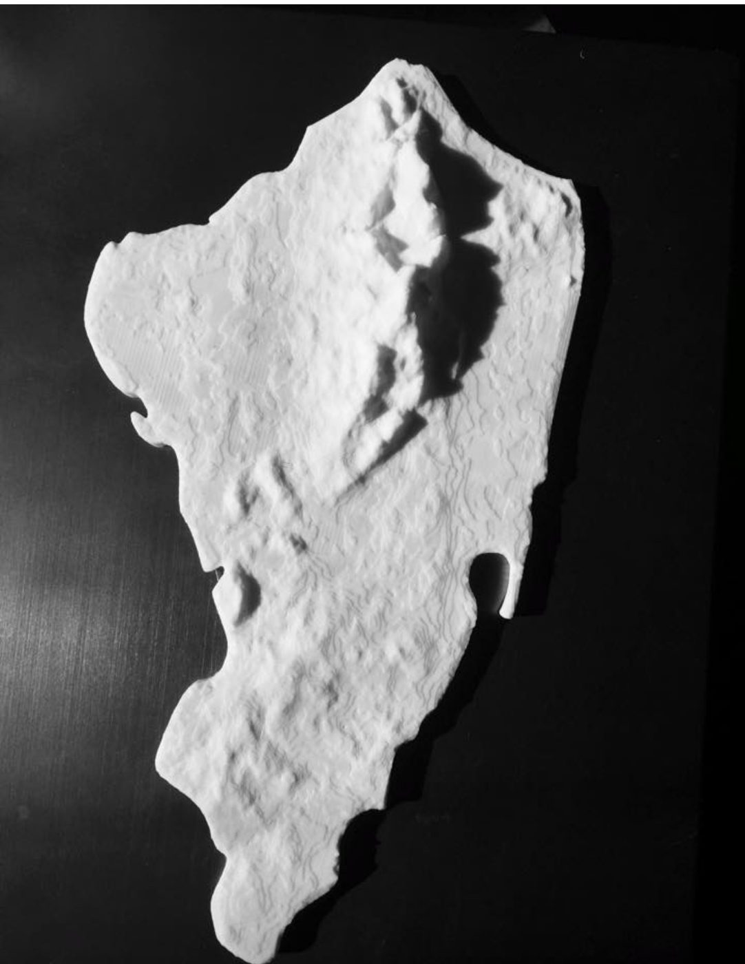
The first full-size Staten Island terrain print, white on a black table
October 18, 2014. The first full-size print.

A personal
project.

When I started 3D printing 14 years ago, the first thing I ever designed myself was a Staten Island keychain. I pulled NASA elevation data and challenged myself to show the island in a new dimension.

Staten Island gets remembered for the dump, and sure enough four small man-made hills show up in the print right where Fresh Kills was. It also holds the highest point on the Atlantic coast between Cape Cod and Florida. Todt Hill sits at 410 feet, and you won’t find anything taller along the shore from here down to the Keys.
Getting the
shoreline right.

Turning that data into a model got complicated fast. The real shoreline is nowhere near as agreeable as the outline we all recognize as our island. So I merged the familiar, technically wrong outline with the true topography as one mesh in Blender. If you’ve ever edited a mesh by hand you know it was not fun. The result was worth it.

When it was done I drilled a hole in it, digitally, right where I grew up in Mariners Harbor, so a key ring could go through.

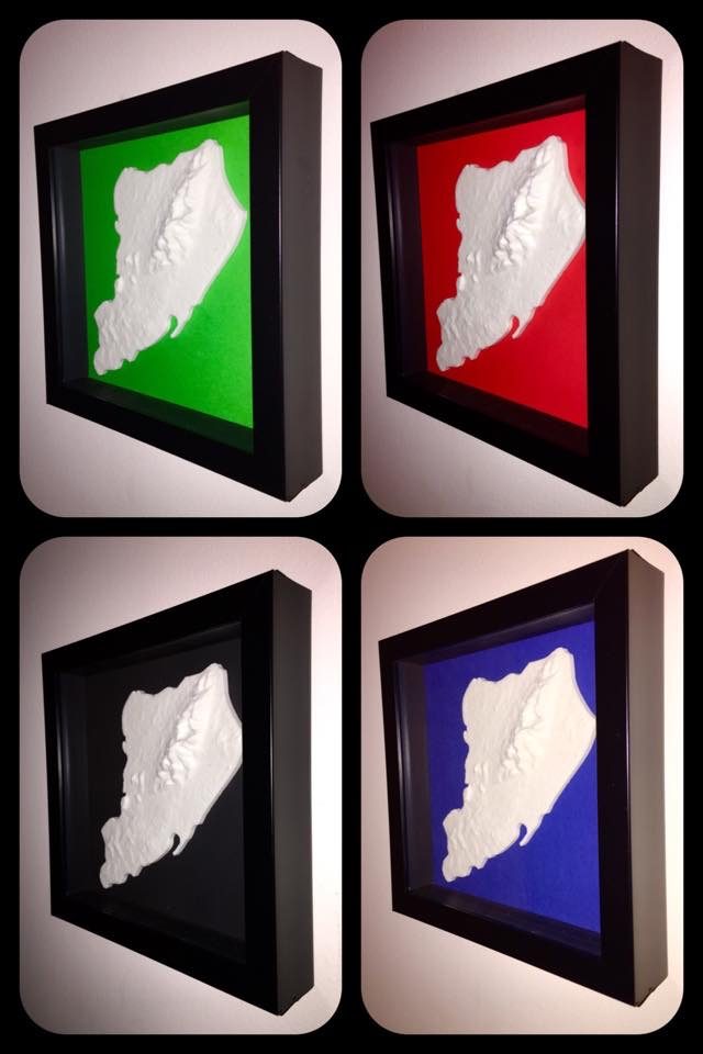
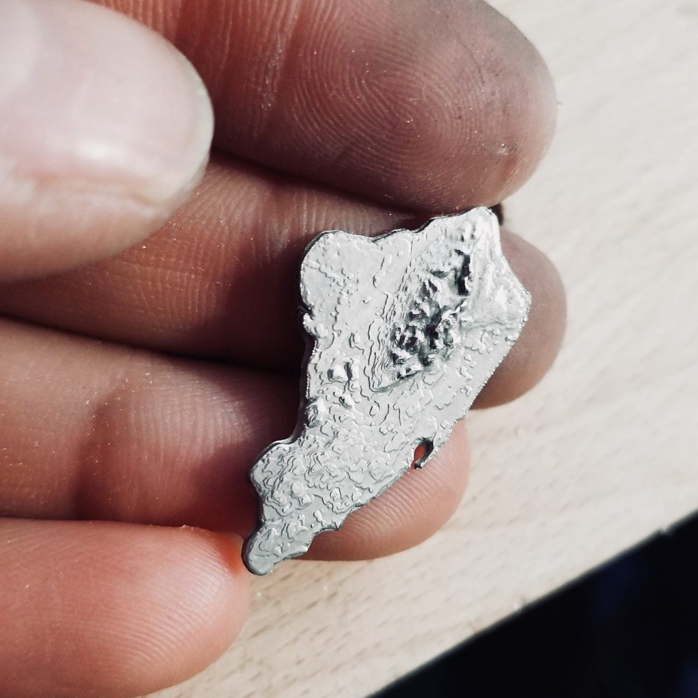
I must have printed thousands of them since. Most went out as free giveaways. For a lot of people it was the first 3D printed object they ever held. Some went in shadow boxes. One came back cast in metal.

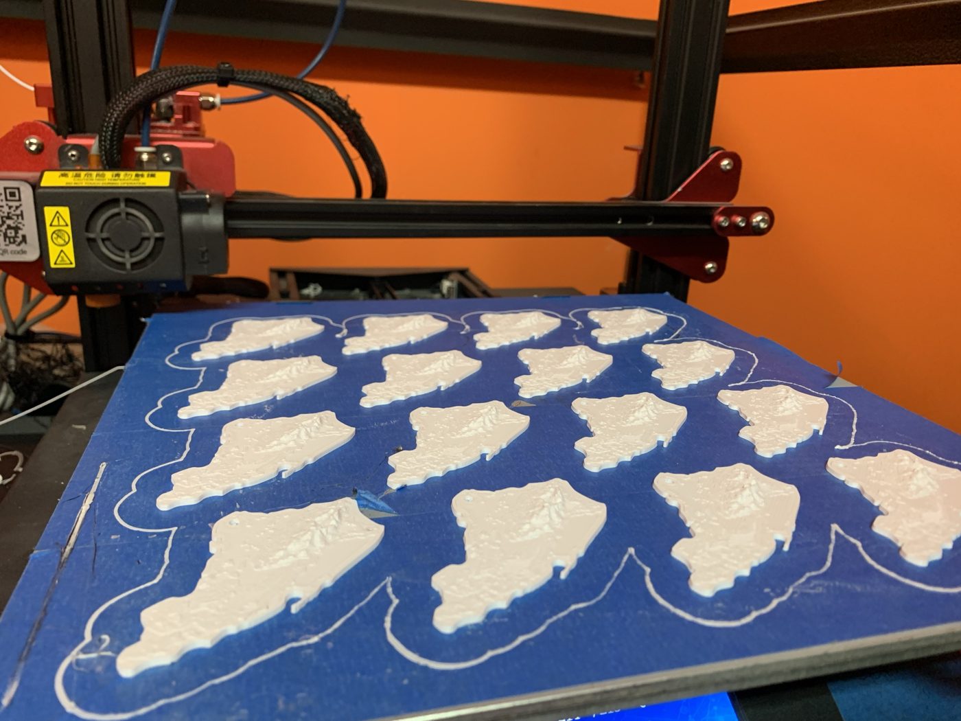
Twenty Staten Island keychains printing at once on a blue print bed
A full bed of keychains.
A Staten Island keychain cast in metal, held between two fingers
One cast in metal.
Four shadow boxes with white Staten Island terrain on green, red, black and blue backgrounds
The shadow boxes.
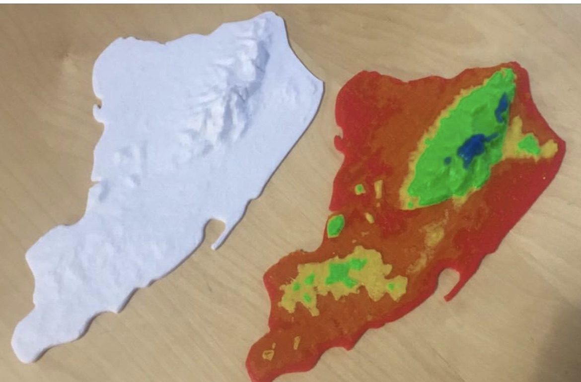
Two full-size prints, one white and one painted by elevation band from red at sea level to blue above 270 feet
2018. Painted by elevation: red 0–45 ft, orange 45–90, yellow 90–135, green 135–270, blue 270–410.

Print the
original.

The 2014 keychain is still free. A lot of you have printers now, so here it is. Print it flat at 100%, no supports. If you already have one, old or new, I’d love a picture: 3dmikep@gmail.com.

SI_Keychain.stl
Size
54 × 56 × 6 mm
Triangles
21,774
File
1.1 MB binary STL, units mm
Design
2014, NASA SRTM elevation, hand-merged outline
SHA-256
330cf4421e6cf71ca590a559206bd75fed2d316e2f44d88593bf0c499ebc35d2

What’s here
today.

That keychain was the whole island at the size of your thumb. The browser now covers Staten Island, while the printable model brings a stretch of the North Shore to your table.

The explorer contains 142,178 unique building records across Staten Island, built from the City’s building footprints and the 2017 NOAA elevation survey. The original North Shore area, from St. George to Stapleton, covers about 1.6 by 3.2 kilometers and contains 4,485 buildings. That area drives the 32-tile printable model at 1:2,500. Island-wide coverage, browser roof detail and illustrative proposal geometry do not change print revision 01.

The rectangular frame is a project extent. It does not define an official neighborhood or planning boundary.

How it’s
kept honest.

The base model comes from public data. Terrain, buildings and zoning are generated from public datasets, and every building you click shows the record it came from. When a proposal appears in yellow, it was traced from the agency’s own public slides and it’s labeled illustrative, because that’s what it is: a reconstruction of a picture, not a design.

Sun angles, shadows and water levels are exploratory tools, not certified studies. Where a number is approximate, the site says so next to the number.

Data & Sources: datasets, dates and what the model does not claim

From screen
to table.

The physical model uses the same geographic frame and height datum at 1:2,500. Each tile covers 400 × 400 m of ground. Together the 32 tiles form an assembly 640 × 1,280 mm.

Print revision 01 is a prototype and the physical fit is untested. The print hub has the files and the fit-test sequence.

Print the model

Corrections.

If a building is wrong, a name is off, or a source is out of date, email 3dmikep@gmail.com. Include the tile code or the building address and I’ll check it against the source record. This email does not submit a formal civic comment.

Who.

Mike Perina. I ran a 3D printing shop on Staten Island for over a decade and now build software at tangent.build. This is a personal project, not affiliated with any agency, developer or campaign.

See your block.

Open the model